Meet Trail

-
High-resolution screen
-
Accurate and easy-to-use joystick
-
Topographic map included
-
Compatible sensors

Technical Specifications
Physical characteristics | |
Dimensions | 80 x 130 x 20 mm |
Weight | 215 gr |
Buttons | 4 front + 2 side |
Joystick | |
Water/dust/mud resistant | IP67 |
Resistant to extreme temperatures | -10 ºC ~ 50 ºC |

Screen | |
Type | Blanview / Resistive |
Touch | |
Dimensions | 3.7'' |
Resolution | 480 x 640 pixels |
Backlight | |
Efficiency | |
GPS chip | SE 880 |
RAM | 2 GB |
Internal memory | 16 GB (free: 12 GB) |
Memory-card slot | |
Power supply | |
Light sensor | |
Battery capacity | 4000 mAh |
Normal battery life | 20 hr |
Rechargeable battery | |
Removable battery | |
Optional AA batteries | |
Comm port | MicroUSB |
Tools | |
GPS | |
Glonass | |
Full connect | |
ANT+™ | |
Bluetooth | |
GPRS | |
Wi-Fi | |
Audio | Speaker |
Barometer | |
Digital compass | |
Accelerometer | |
Functions | |
Customisable sports profiles | |
Map overlay | |
3D map display | |
Create unlimited waypoints, routes and tracks | |
Download maps and routes from online providers | |
Advanced route editing | |
Calculate on-road navigation | |
Estimated time of arrival at destination | |
Workouts by time, distance, heart rate and pace | |
TrackAttack workouts | |
Estimate of calories burned | |
Adjustable alarms | |
Automatic and manual laps | |
Real-time altitude graphic | |
Over 120 real-time data fields | |
Customisable data pages | |
Customisable device buttons | |
Live broadcast with SeeMe™ | |
Emergency alerts with SeeMe™ | |
Compatible with geocaching | |
Compatible with e-Roadbooks | |
Auto-sync with the GO Cloud |
Discover what Trail has to offer
Screen and Buttons
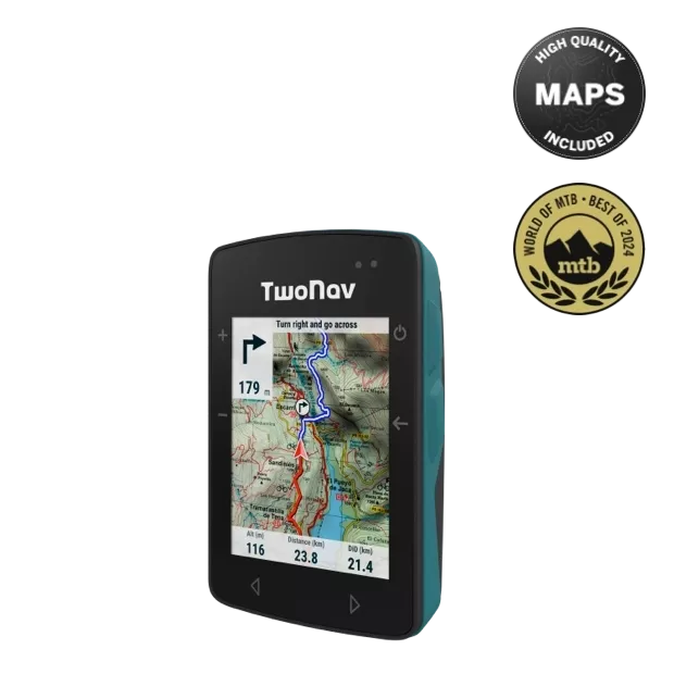
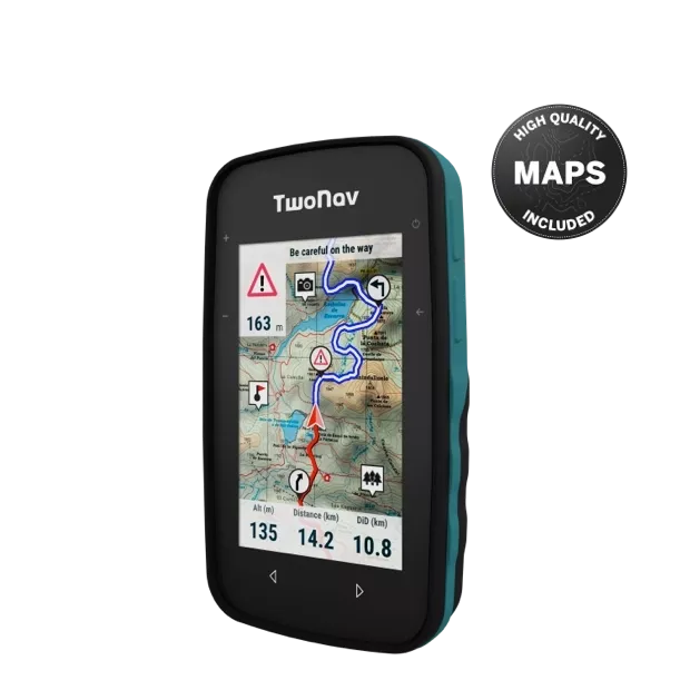
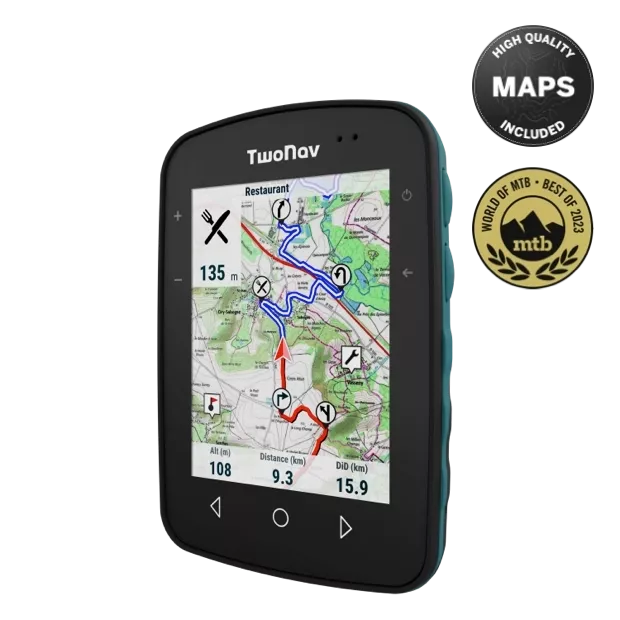
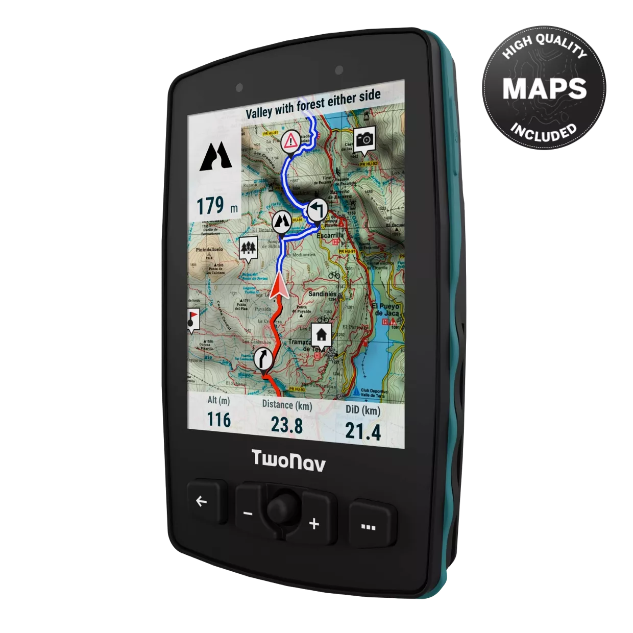
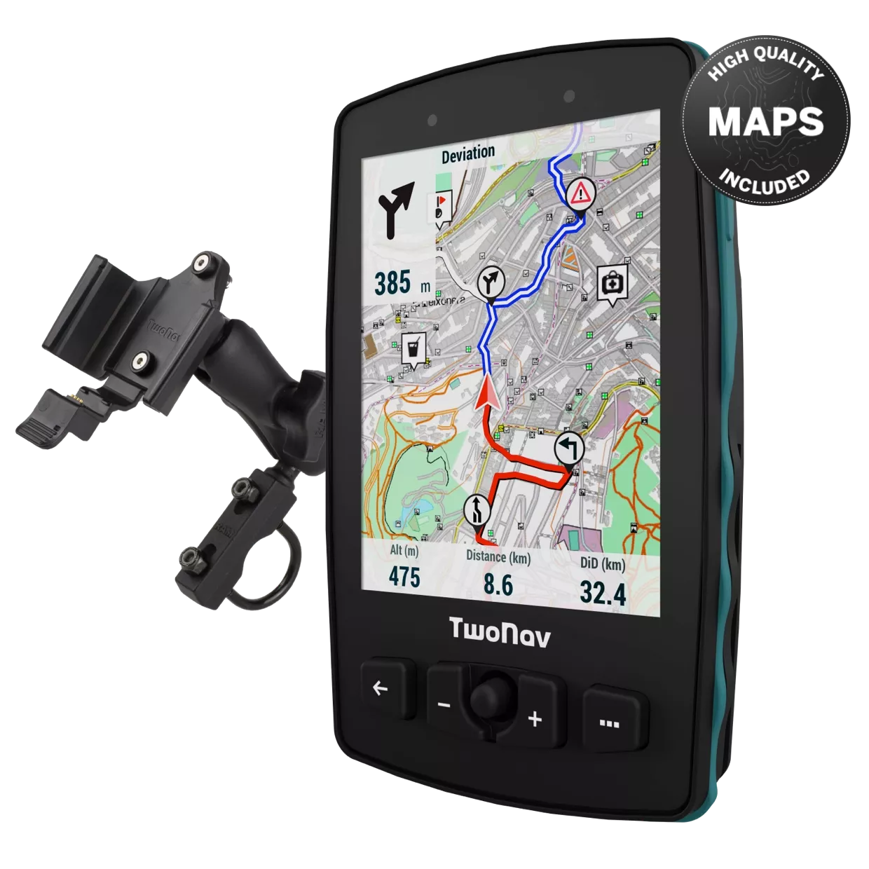
Track every step of your outing on the large and bright 3.7” display. See small details more accurately, even in bad visibility or under direct sunlight. Plus, Trail comes with 4 front buttons, 2 side buttons and 1 joystick, which will let you work the device even with gloves on.
Built tough
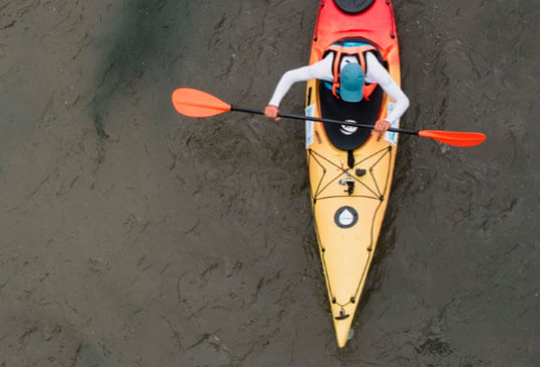
Enjoy all types of high-intensity outdoor activities without worrying about water, mud or dust getting in the device. With its IP67 rating, Trail can withstand all kinds of weather while you hike, trek, paraglide or even kayak.
Long-distance outings
Go on outings lasting more than 20 hours. Its rechargeable battery puts within your reach a compact GPS whose unibody design ensures complete protection from the elements.

SeeMe™ Service
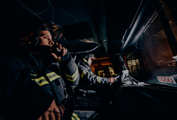
Explore the most inhospitable areas without compromising your safety. The SIM card in Trail lets you send an emergency alert so your family and friends can locate you at any time and help you if you’re in an accident.
Free updates
With our periodic updates of the GPS software and new features, it’s like getting a new GPS. Connect it to your Wi-Fi network and update it over the air.

See your location on a map wherever you go
Trail comes with a topographic map of your country that you can reference to see your location at all times. Trail also lets you work with several maps at once from the same app:

Go even further!
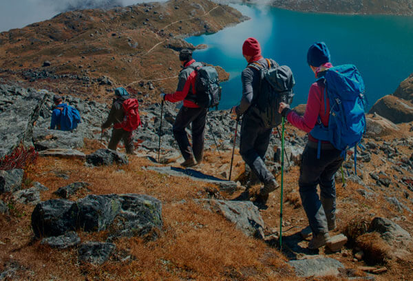
Trail has specific features to get the most from any type of mountaineering activity (hiking, trekking...).
Other Key Features
Store your tracks in the GO Cloud wherever you are
At the end of the activity, don’t wait until you get home to upload the route to the GO Cloud. Once uploaded, you’ll be able to analyse the most important stats for the route directly from the GO portal: length of the walk, distance travelled, accumulated ascent and more.
If you prefer to analyse the route more thoroughly, install the Land Standard software (Windows/Mac), included free with Trail, to get access to all the information recorded by the GPS. You’ll also be able to download free maps from all over the world and prepare the route for your next outing from the comfort of home.
More than a GPS
Included with your purchase
- Maps of your country
- SIM card
- 6 free months of SeeMe™
- USB-MicroUSB cable
- TwoNav Premium app (Android/iOS)
- Land Standard software
- 50% off on Land Premium software
- Personal area in the Go Cloud
Comparison

Full-Connect technology designed for hikers, trekkers and professionals. Features a large display so you can easily see maps and routes. Easy interaction through buttons and included joystick, even with gloves on.


Designed for athletes who enjoy mountains for both extreme sports and relaxing. Its large, 3.7-inch display makes it easy and convenient to check the route that lies ahead of you.